


Northumberland Map
It looks beautiful on my wall and I am enjoying finding the small places with the small writing.
Beautifully crafted and high quality. It is both whimsical and professional in its design! Love it!
It's easy to read, but still gives the fantasy vibe we love.
The Quality is extremely good and the detail is incredible
Wonderful product of great quality. Seller was responsive when contacted.
Beautiful map. Very detailed. Not cheap, but well worth it.
Ordered the A2 size but wish I'd gone bigger as its fantastic, would totally recommend
It’s beautiful, and it even shows the relatively small town he grew up in!
He absolutely loved the map and immediately put it up on his wall and wanted to buy more :D
This edition has different options. Please check your size, colour and frame before adding it to your cart.
Selected configuration
Estimated arrival: 10–28 calendar days from ordering.
Includes printing and delivery.
Accepted payment methods


Size & hanging guide
Northumberland Map
Print size guide
Short side × long side
- A1
- 59.4 × 84.1 cm
- A2
- 42.0 × 59.4 cm
Sizes with an available variant are shown. Availability can vary by colour and frame.
The print orientation has not been confirmed in this guide. Measurements are shown short side first.
The paper
Printed on thick, 200 gsm enhanced matte fine art paper.
Print or framed?
Sizes refer to the printed sheet, not the outside of a frame. A frame adds to the outer dimensions.
Choose No frame for the print only. A frame is included only when you select a frame option.
Hanging your map
For a framed map, check the hanging fitting on the back. Use wall fixings suitable for your wall type and the frame’s weight.
If you choose No frame, frame or mount the print before hanging it.
A fantasy-style map print of Northumberland, bringing together the Cheviot Hills, Kielder Water, winding rivers and the coast, from Berwick-upon-Tweed to the Tyne.
Available in Aged or White in A2 and A1 sizes. Choose an unframed print or a Warm Walnut or Black frame.
This is a portrait print: A2 measures 42 cm wide × 59.4 cm high; A1 measures 59.4 cm wide × 84.1 cm high. Frames add to the outer dimensions.
From the artist
Artist Message
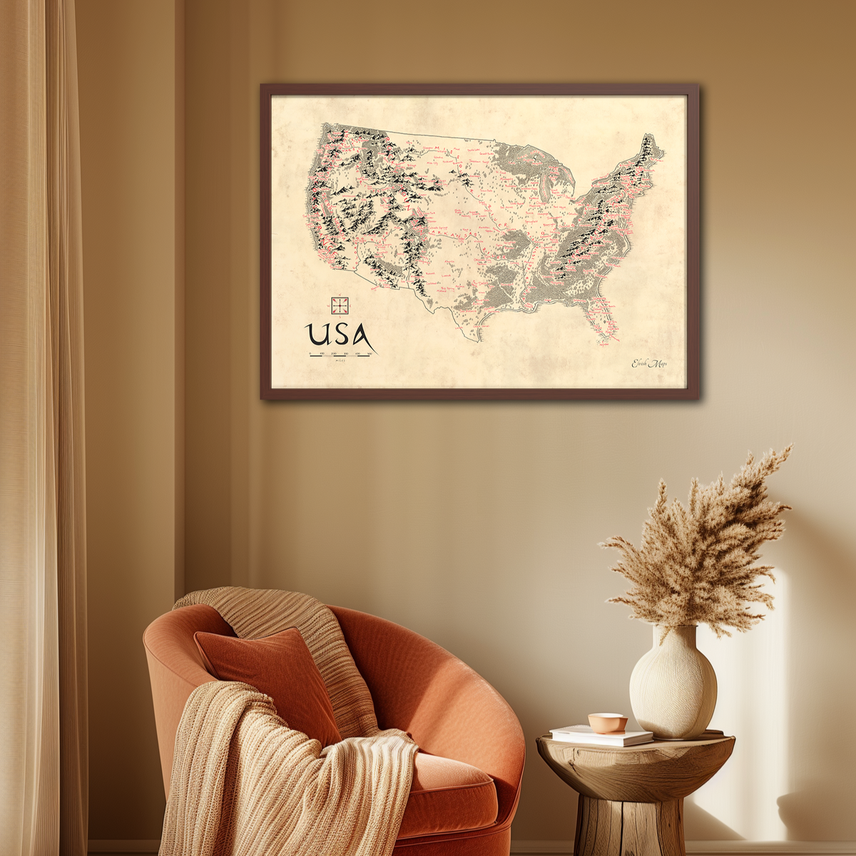
This map of Northumberland is presented in a Tolkien-inspired style. The influence is reflected in the hill symbols, winding rivers, woodland and coastline, with place names written in an elegant, clean elvish-style font.
From the Cheviot Hills and Kielder Water to Alnwick, Rothbury and the coast, individual trees and hill symbols bring the landscape together around its waterways. The River Tweed, River Coquet and River Tyne sit alongside familiar towns and villages.
Place names are labelled in striking red to contrast with the black hills, rivers and forest canopies. The lion compass and ornamental title complete the map’s fantasy-cartography style.
The hills, rivers, trees and sea come together in a timeless design, with Northumberland’s familiar places at its heart.
Get one for your home or a friend today and experience the wonderful magic this meticulously crafted piece of cartography has to offer.
Contains Ordnance Survey data © Crown copyright and database right 2026. Open Government Licence v3.0.
Before you order
Frequently Asked Questions
Size & hanging guide
Northumberland Map
Print size guide
Short side × long side
- A1
- 59.4 × 84.1 cm
- A2
- 42.0 × 59.4 cm
Sizes with an available variant are shown. Availability can vary by colour and frame.
The print orientation has not been confirmed in this guide. Measurements are shown short side first.
The paper
Printed on thick, 200 gsm enhanced matte fine art paper.
Print or framed?
Sizes refer to the printed sheet, not the outside of a frame. A frame adds to the outer dimensions.
Choose No frame for the print only. A frame is included only when you select a frame option.
Hanging your map
For a framed map, check the hanging fitting on the back. Use wall fixings suitable for your wall type and the frame’s weight.
If you choose No frame, frame or mount the print before hanging it.
Paper & framing
All of our maps are printed on thick, high quality 200 gsm enhanced matte fine art paper.
Yes. Choose Black or Warm Walnut frames, or choose No frame for a print only. Aged and White are the map colour options.
We secure every order either inside a thick, sturdy mailing tube or firm box to ensure a safe, dry and intact delivery.
I draw all of my maps at the biggest size I sell, which is A1. Therefore, the clarity is perfect.
Shipping & returns
Estimated calendar days from ordering to arrival, including production.
Australia: 5–16 days
Canada, unframed: 3–14 days
Canada, framed: 6–28 days
New Zealand: 10–28 days
United Kingdom: 5–12 days
United States: 4–16 days
Australia, Canada and US estimates use recent tracked orders. UK and NZ are supplier-based planning estimates, allowing for standard UK domestic delivery and international routing to NZ.
Estimates are not guaranteed; some deliveries take longer. For a date-sensitive order, contact us before ordering.
Free delivery on all orders. See our returns policy for return details.
We have a 30 day returns policy. If you want to return an order, it must be returned in a perfect, sellable condition in order for a complete refund. You must pay for and organise the shipping yourself. To organise returning an order to us, please email elvishmaps@gmail.com.
Sustainability
The wood used in our frames is sustainably sourced using responsible & sustainable forestry methods.
Judge.me
Featured reviews
Let customers speak for us
Let customers speak for us

36 featured reviews from verified customers
All ratings
Our Promise
Trusted ★★★★★ | 3,000+ orders fulfilled
30 Day Returns | Fast Global Shipping
Professional Quality | Thick 200GSM Paper

Hi, this is Elvish Maps
I’m Ben. I started Elvish Maps in 2023 at age 15 to teach myself how to run a business and have fun.
Wherever you may live, I can bring a personal Tolkien inspired touch of magic to your home.
